
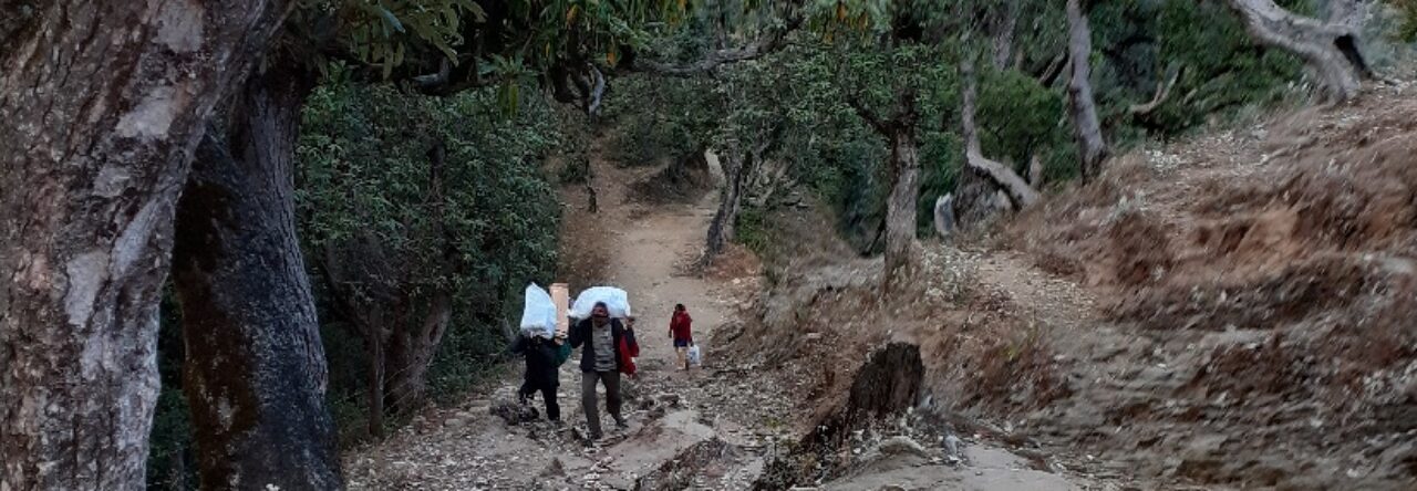
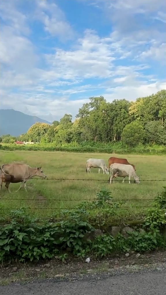
Most people drive from Dehradun to Chakrata with one thing in mind: getting to the hill station. But the road itself has some of the prettiest stretches in the Doon valley. Just before the climb begins, wide green and golden pastures open up beside the road, cows and bulls graze quietly behind wire fences, and the Mussoorie hills stand along the horizon. Here is our short video from that stretch, plus a simple guide to the route, the stops worth making and a few tips for the drive.
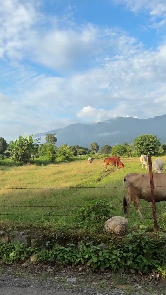
Where Are These Pastures?
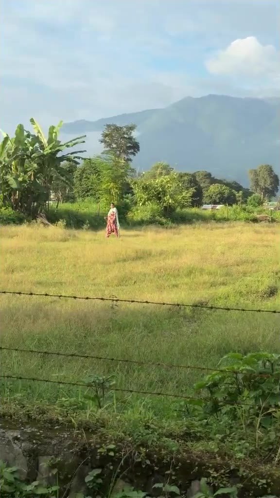
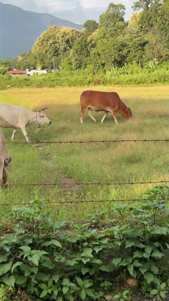
These fields lie in the foothills on the way from Dehradun to Chakrata, before the road starts climbing into the hills. It is farmland and open grazing ground, not a high-altitude bugyal, and that is exactly its charm: flat, open and calm, with the long ridge of the Mussoorie hills behind you. In the video you can see cows and bulls of different colours grazing in the evening light, with a row of tall trees at the edge of the fields.
There is no ticket, signboard or parking lot here. It is simply a beautiful roadside stretch that most travellers pass without a second look.
Dehradun to Chakrata: The Route
- Distance: about 90 km from Dehradun city to Chakrata.
- Time: around 3 hours by car or bike, a little more with stops.
- Route: Dehradun → Premnagar → Selaqui → Herbertpur / Vikasnagar → Kalsi → Sahiya → Chakrata.
- Road: flat and easy up to Vikasnagar and Kalsi, then a long winding climb through pine forest to Chakrata.
- By bus: Uttarakhand Roadways and private buses run from Dehradun towards Chakrata via Vikasnagar; shared jeeps also run from Vikasnagar and Kalsi.
If you are driving from Mussoorie instead, you can also reach Chakrata via Kempty Falls and Yamuna Bridge, but the Vikasnagar–Kalsi road from Dehradun is the most common route.
Stops Worth Making on the Way
1. The pastures near the foothills
The stretch in our video. Pull over only where the shoulder is wide and safe, step away from the traffic and simply enjoy the open view towards the Mussoorie hills.
2. Kalsi and the Ashokan rock edict
At Kalsi, beside the road, stands a large quartz rock carrying the edicts of Emperor Ashoka from around 250 BCE, written in Brahmi script. It records his Major Rock Edicts 1 to 14 and has a small carving of an elephant on one side. The rock was found by Alexander Cunningham in about 1850 and is now protected under a shelter. It is a quick, fascinating stop for anyone who likes history.
3. Matogi Shiv Temple (a detour)
If you have time, the hilltop Matogi Shiv Temple with its giant statue of Lord Shiva is reached from the Chakrata road via Langha. It makes a great half-day detour on the way back.
4. Chakrata and around
Chakrata itself is a quiet army cantonment town among deodar forests. Popular spots around it include Tiger Falls (a forest waterfall beyond Chakrata, where the last stretch is on foot), Deoban for forest walks and Himalayan views, and Chilmiri sunset point. Roads to some of these are narrow and rough, so ask locally about conditions before you go.
Tips for the Drive
- Start early. Leave Dehradun by about 7 am. You get soft light in the fields, cooler air and emptier roads, and you reach Chakrata before lunch.
- Fuel up in Vikasnagar. Fill your tank in the plains; options become limited once the climb starts.
- Carry snacks and water. Many dhabas on the climb open late in the morning.
- Respect the animals. The cows and bulls in these fields are cared for by local families. Do not feed them, do not enter fenced fields, and let them graze in peace.
- Park safely. Stop only where you are fully off the road; buses and trucks use this route.
- Watch for stinging nettle. Bichhu ghaas grows along roadsides in the hills; wear full trousers if you walk into the grass.
- Check entry rules. Chakrata is a cantonment area. Indian visitors can travel freely, but foreign nationals should check the current rules before planning a trip.
Best Time to Visit
October to early December and March to June are the best months. After the monsoon the fields are at their greenest and the air is clear, which is when we shot this video. Winters are cold in Chakrata, and during the monsoon (July to September) landslides can close the hill road, so check the weather before you leave.
What to Carry for the Dehradun to Chakrata Drive
- Car mobile holder to follow maps hands-free on the hill road
- 20000 mAh power bank as charging points are few after Kalsi
- Insulated water bottle for a long day on the road
- Light fleece jacket because Chakrata is much colder than Dehradun
- Motion sickness bands for the winding climb after Kalsi
As an Amazon Associate I earn from qualifying purchases.
Watch: Green Pastures on the Road to Chakrata
Follow us on Instagram @dehraduni1 for more hidden places in Uttarakhand.
Frequently Asked Questions
How far is Chakrata from Dehradun?
Chakrata is about 90 km from Dehradun city by road, and the drive takes around 3 hours via Vikasnagar and Kalsi.
Which is the best route from Dehradun to Chakrata?
The most common route is Dehradun, Premnagar, Selaqui, Herbertpur or Vikasnagar, Kalsi, Sahiya and then Chakrata. The road is flat until Kalsi and then climbs steadily through the hills.
What can I see on the way from Dehradun to Chakrata?
Open green pastures with the Mussoorie hills behind them, the Ashokan rock edict at Kalsi, views of the Yamuna valley and pine forests on the climb. Matogi Shiv Temple is a worthwhile detour from the same road.
When is the best time for a Dehradun to Chakrata road trip?
October to early December and March to June. Avoid heavy monsoon days, when landslides can block the hill road.
Can I do Chakrata as a day trip from Dehradun?
Yes, if you start early. Leave by 7 am, stop at the pastures and Kalsi on the way, spend a few hours in Chakrata and drive back before dark. To see Tiger Falls or Deoban comfortably, plan an overnight stay.
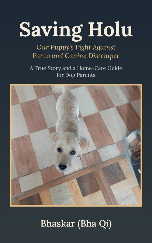
Read on Kindle (Amazon.in)Amazon.com
More guides you may like
Watch our Himalayan trips in video
Short videos of temples, wildlife and hill drives around Dehradun.
▶ Subscribe on YouTube◯ Follow @dehraduni1 on Instagram
Leave a Reply
You must be logged in to post a comment.